MapFasten (web app, source on GitHub) is a tool for aligning an image or PDF with other map layers so you can use it more effectively.
The basic idea is that you find matching landmarks in your overlay and in the underlying map, add tie points to those landmarks, then the MapFasten solver will find the best alignment that makes the matching tie points line up. From there you can share the aligned overlay with your team and view it in other maps.
Our NASA GeoCam Project team built MapFasten and our main clients were the Google Crisis Response Team.
After a major disaster, the Crisis Response Team generates a Crisis Map, which is a set of many map layers that provide different kinds of information to aid responders and citizens in the affected area. Local organizations often have data that's important to share through a Crisis Map, but sometimes it comes in the form of a PDF or a scan of a printed document, so it's hard to combine with other map layers.
The goal of MapFasten is to make it easier for those organizations to import their images, align them, and publish them in the Google Maps tiles format, which makes it easy to import the data into a Crisis Map. Although MapFasten's initial purpose is to support crisis response, it can be used to align any kind of map image and the result can be easily added to any map built on the Google Maps API.
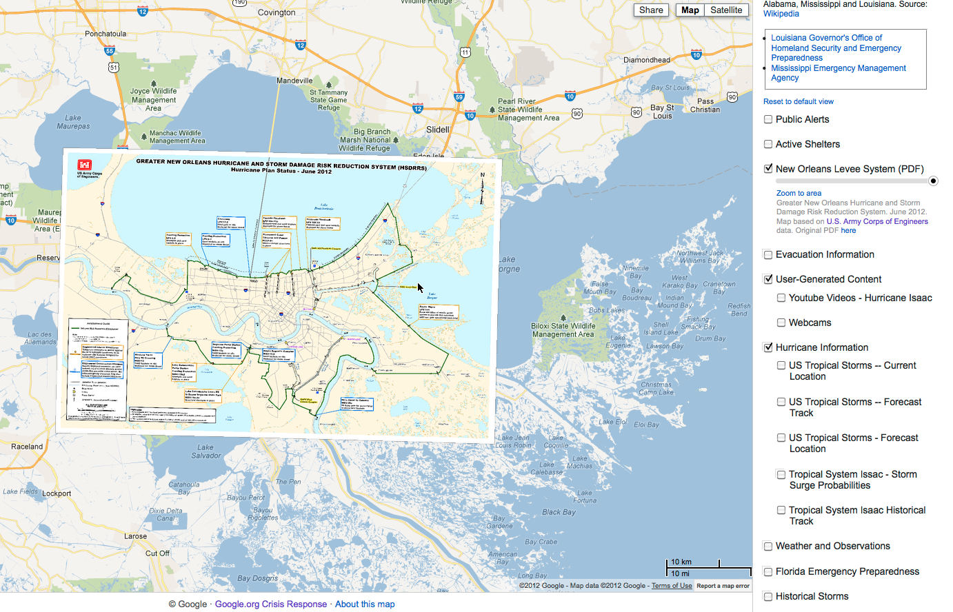
After Hurricane Isaac 2012, MapFasten was used to align this map of the New Orleans levee system
We deployed MapFasten on Google App Engine in late 2012 but it will remain in closed beta testing until we can devote some time to making it more scalable and adding simple access controls so each user has their own sandbox to work in.
Lots of interesting design decisions went into building the app and I might go into some of them in future posts. In the meantime, if you're interested in our take on the process of manually aligning maps, you can check out how our interface works in the tutorial video.